We survey and document all gas, water, electricity, telecommunications and fiber optic cable lines as well as sewer registers for the relevant utility companies. We also create height profiles, stake out routes and carry out as-built surveys. We then deliver the survey results digitally (DXF, DWG, DGN, Excel, ASCII) or on paper. Surveys are carried out using satellite-based or tachymetric methods using modern Leica surveying equipment and are carried out by trained specialists. We can also carry out analog measurements using the orthogonal and tie-in method.
Digital surveying is carried out using a GPS system and a trigonometric point determination / total station, i.e. the measurement of directions, distances and elevation angles between neighboring points.
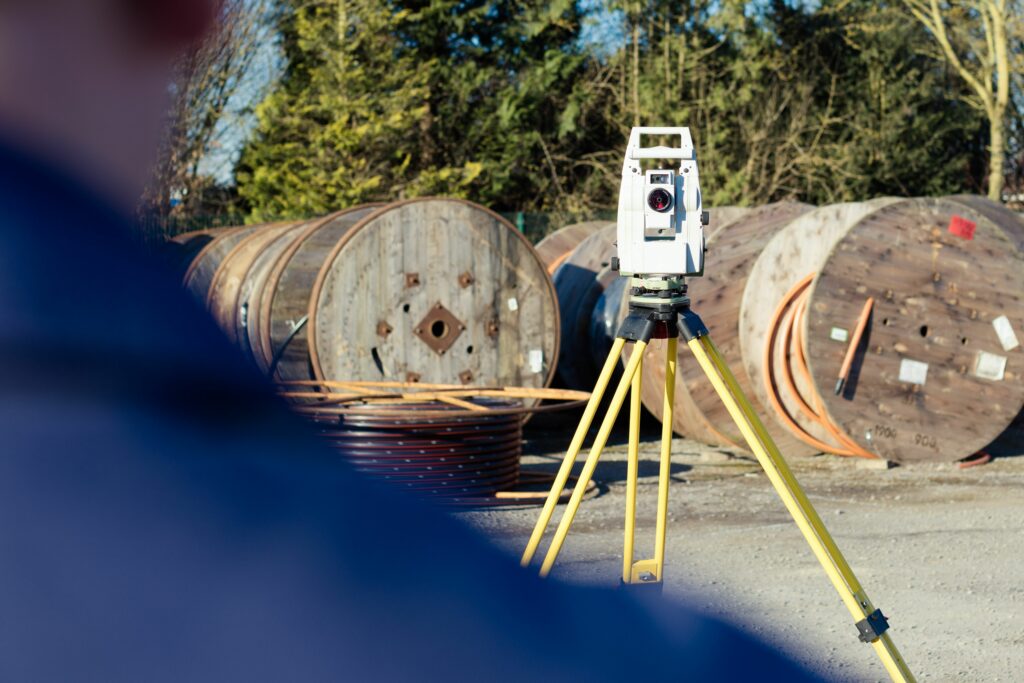
Our analog surveying includes the tie-in method, i.e. measurement in the extension of building sides, the right-angle or orthogonal method, in which a measuring line is set up from which the distances to the line are measured at right angles.
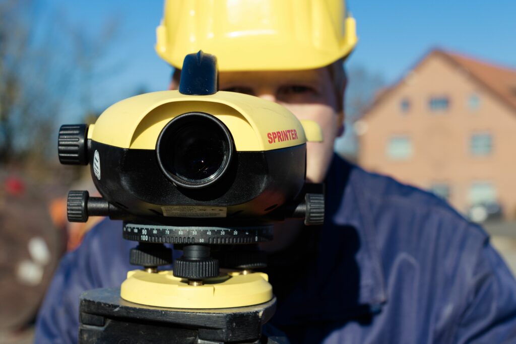
For leveling, we use leveling devices that serve to determine the exact height of various points.
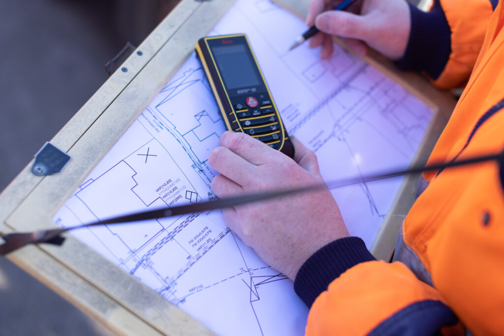
We would be happy to carry out one of the measurements listed above for you. Simply contact us by e-mail or give us a call.